Skip to content
Menu
UIC.EDU
CAMPUS
MAP
Search
×
Schools
Architecture
Art & Art History
Design
Theatre & Music
Admissions
Why CADA?
Book a Visit
How to Apply
Virtual Resource Library
News and Events
News
Events
Venice Architecture Biennale
About the College
Dean’s Message
Equity, Diversity, Inclusion
Strategic Plan
JH/HH Renovation
Academics
Degree Requirements
Advising
Student Support
Dean’s List
Creative Spaces
Gallery 400
Jane Addams Hull-House Museum
Innovation Center
People
About the Dean
Administration
Faculty and Staff
Support
Ways to Give
Funding Priorities
Meet
Apply
Give
School of
Architecture
School of
Art & Art History
School of
Design
School of
Theatre & Music
News
Theatre & Music
The 5th Symposium for LGBTQ Studies and Music Education: Queering Music Education
Theatre & Music
STM Sounds Like: Andrew Pridmore
Theatre & Music
Luis Alfaro Residency Project Website
Theatre & Music
Happy Holidays!
Theatre & Music
Fall Semester News 2023
Architecture
Alexander Eisenschmidt at University of Illinois Chicago first edition of SparkTalks
Theatre & Music
New song release by Student Earl Hester, Perfect People
Architecture
Design, With: Chana Haouzi's Lecture on Redefining Architectural Practices
Theatre & Music
UIC alumnus, ‘Family Ties’ actor Michael Gross donates papers
Architecture
Obed Lopez wins 2023 HOK Diversity x Design Scholarship
Art & Art History
Celebrating 40 Years of Gallery 400 with 40 Auction Artists
Architecture
UrbanLab receives a Citation of Merit in the AIA Chicago's 2023 Design Excellence Awards
Architecture
Second Annual Chicago Sukkah Design Festival
Art & Art History
UIC awarded NEH grant for sustainable exhibition spaces
Architecture
Wheeler Kearns Architects receives three Citations of Merit in the AIA Chicago's 2023 Design Excellence Awards
Events
Architecture
HiArch Summer High School Architecture Program
Architecture
YArch Summer Architecture Program
Architecture
"Sentinels, Iron Portals of Chicagoland" by Cédric Van Parys
Architecture
Spring 2024 Studio Final Reviews
Architecture
Pollen — The UIC/SoArch Journal
Theatre & Music
If Music Be The Food… (Small Ensembles)
Art & Art History
The Mask of Prosperity
Art & Art History
The Mask of Prosperity Opening Reception
Theatre & Music
The 5th Symposium for LGBTQ Studies and Music Education
Art & Art History
Learning Together: Art Education and Community
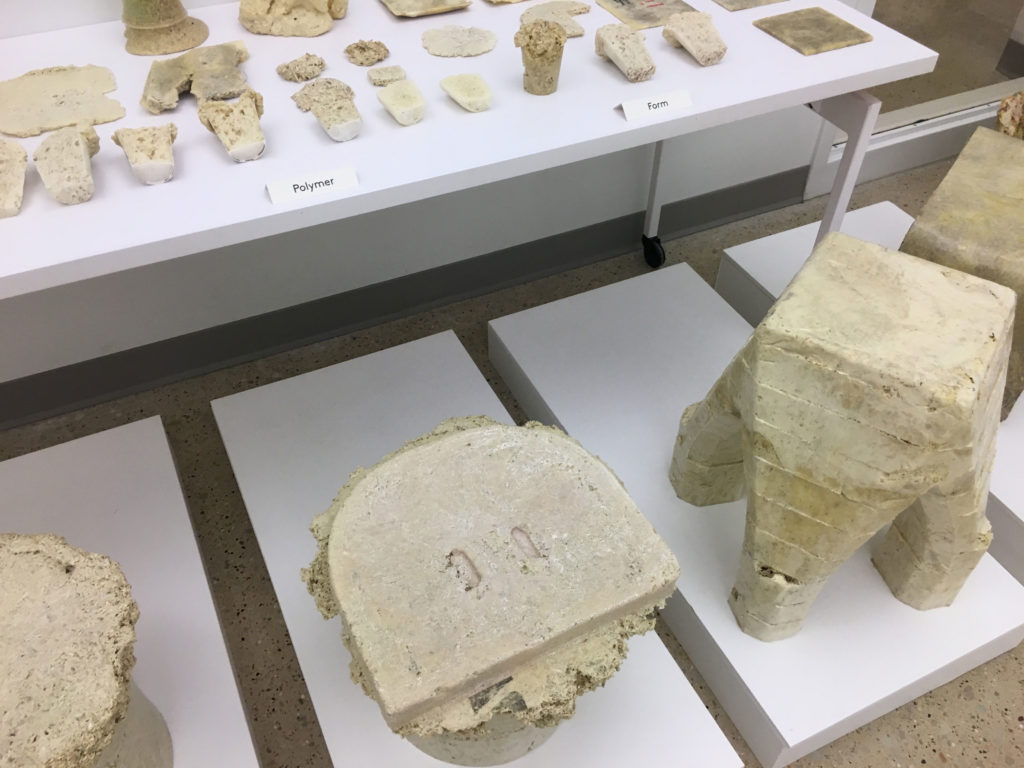
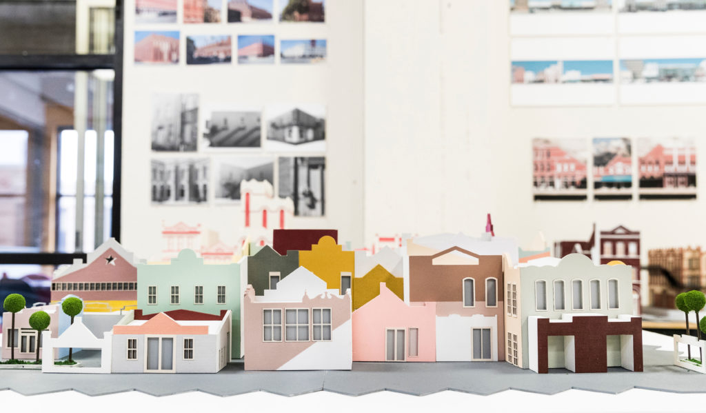
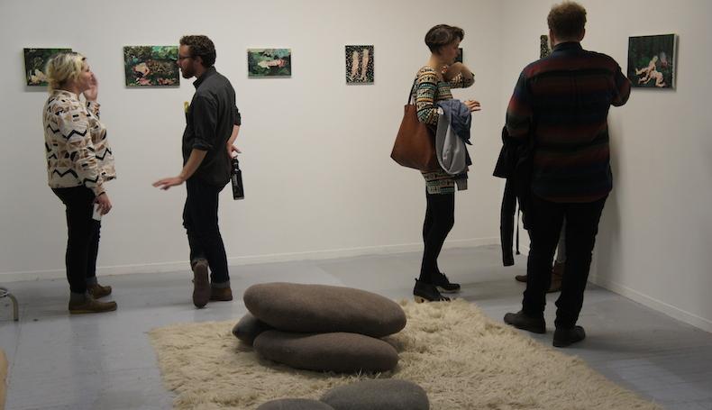
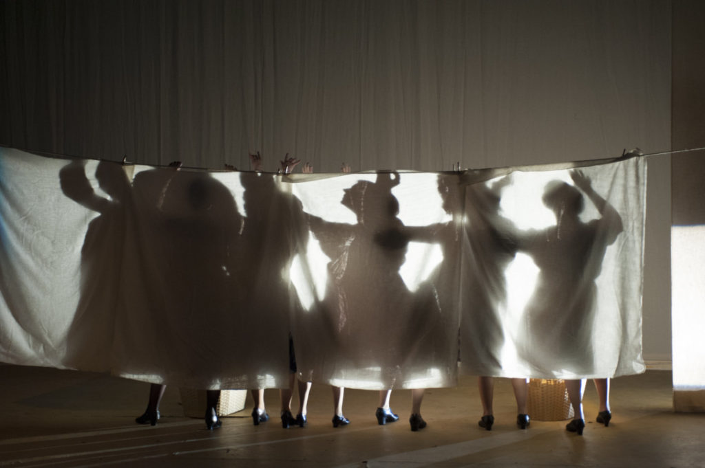
Student Work
Select School
All Schools
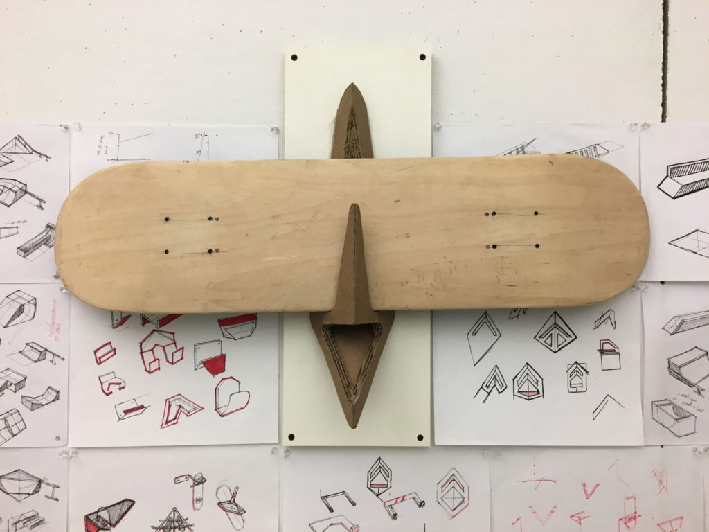
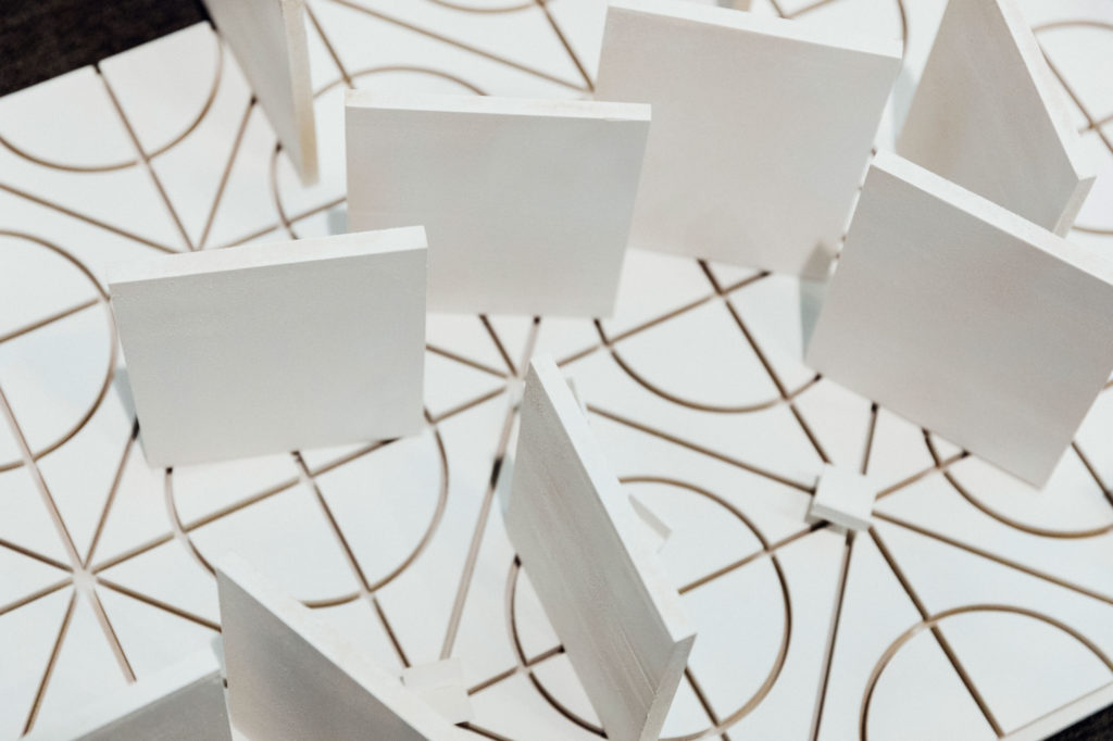
Architecture
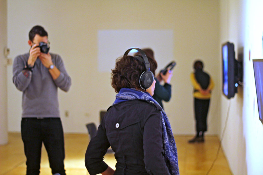
Art & Art History
Design
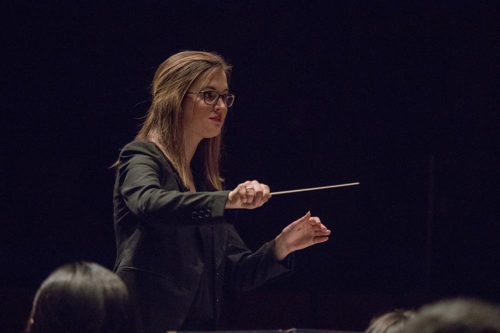
Theatre & Music